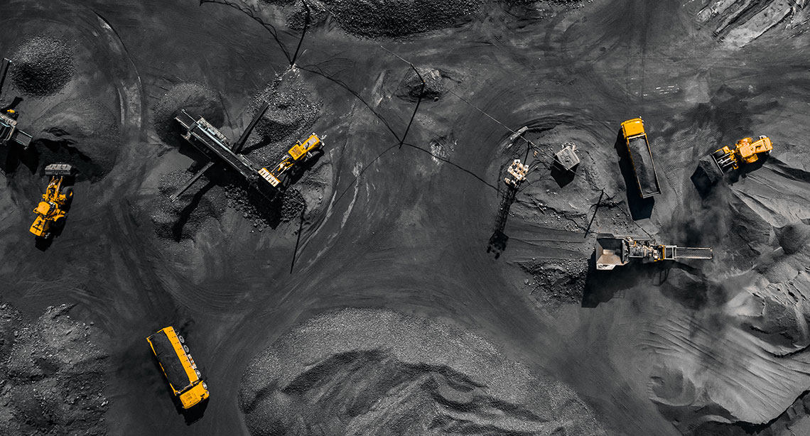
Photogrammetry
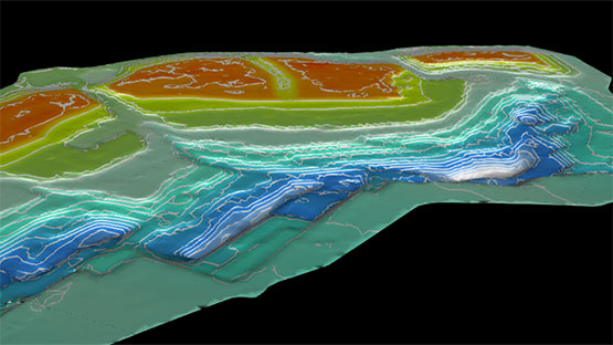
Generate textured surfaces and export orthomosaic photos
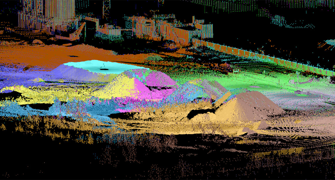
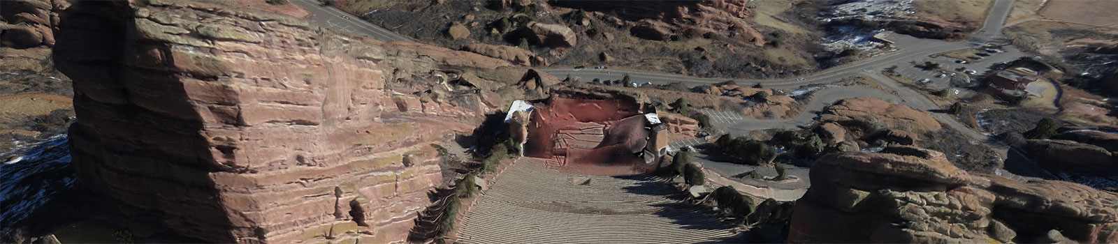
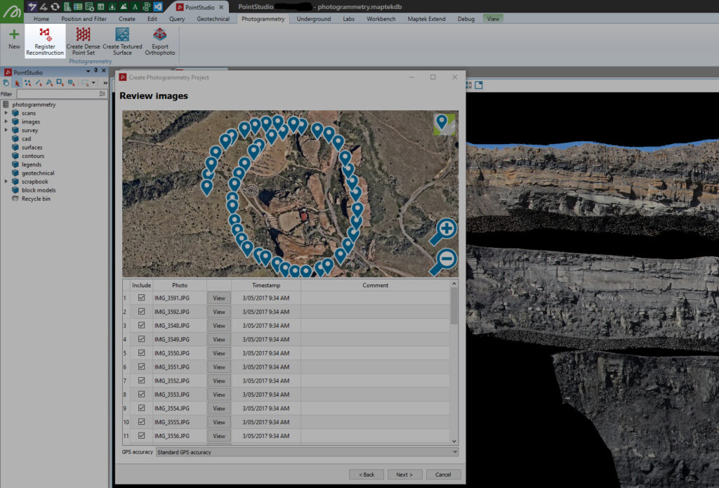
A new photogrammetry add-on allows PointStudio and PointModeller users to upload images from their drone or UAV to extract extremely detailed point clouds.
The Maptek solution combines the power of the 3DFlow engine with a fast, user-friendly interface to efficiently extract point clouds from 2D images. 3DFlow’s proprietary algorithms are the ideal solution for generating textured surfaces and exporting orthomosaic photos.
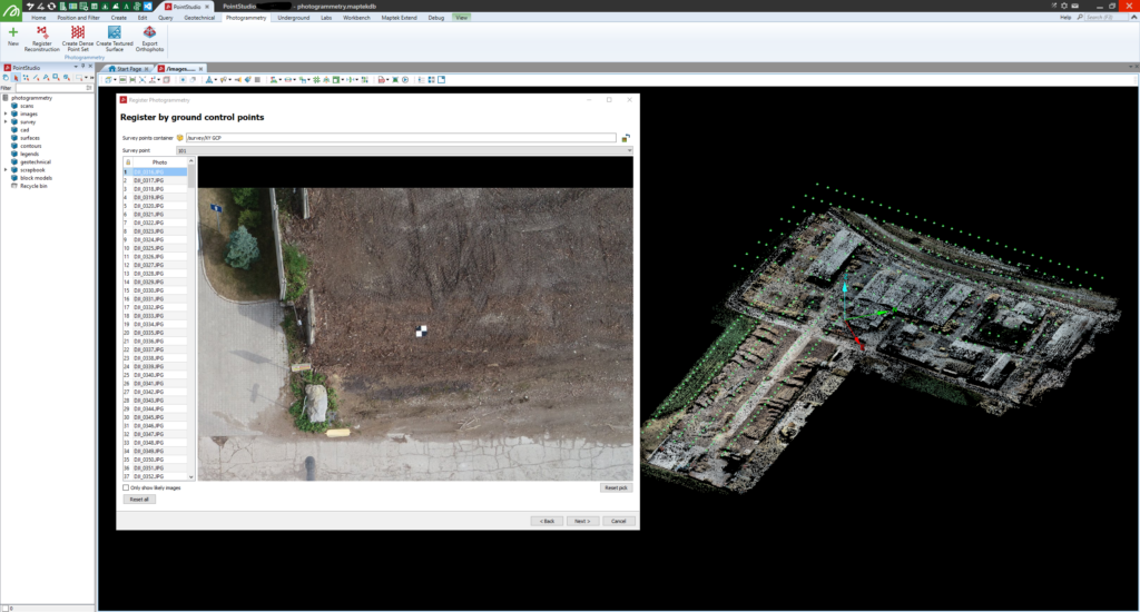
The Register Reconstruction tool allows for quick referencing of point clouds to georeferenced targets or existing point clouds to ensure the resultant dense point cloud is as accurate as possible.
Maptek Labs
One of the Maptek guiding principles is Create Tomorrow through experimentation and innovation. Our labs pages expose new technologies in development to stimulate conversations and feedback from industry to ensure our solutions meet those needs.