GeoSpatial Manager
Online service for visualising, analysing and dynamically updating surfaces
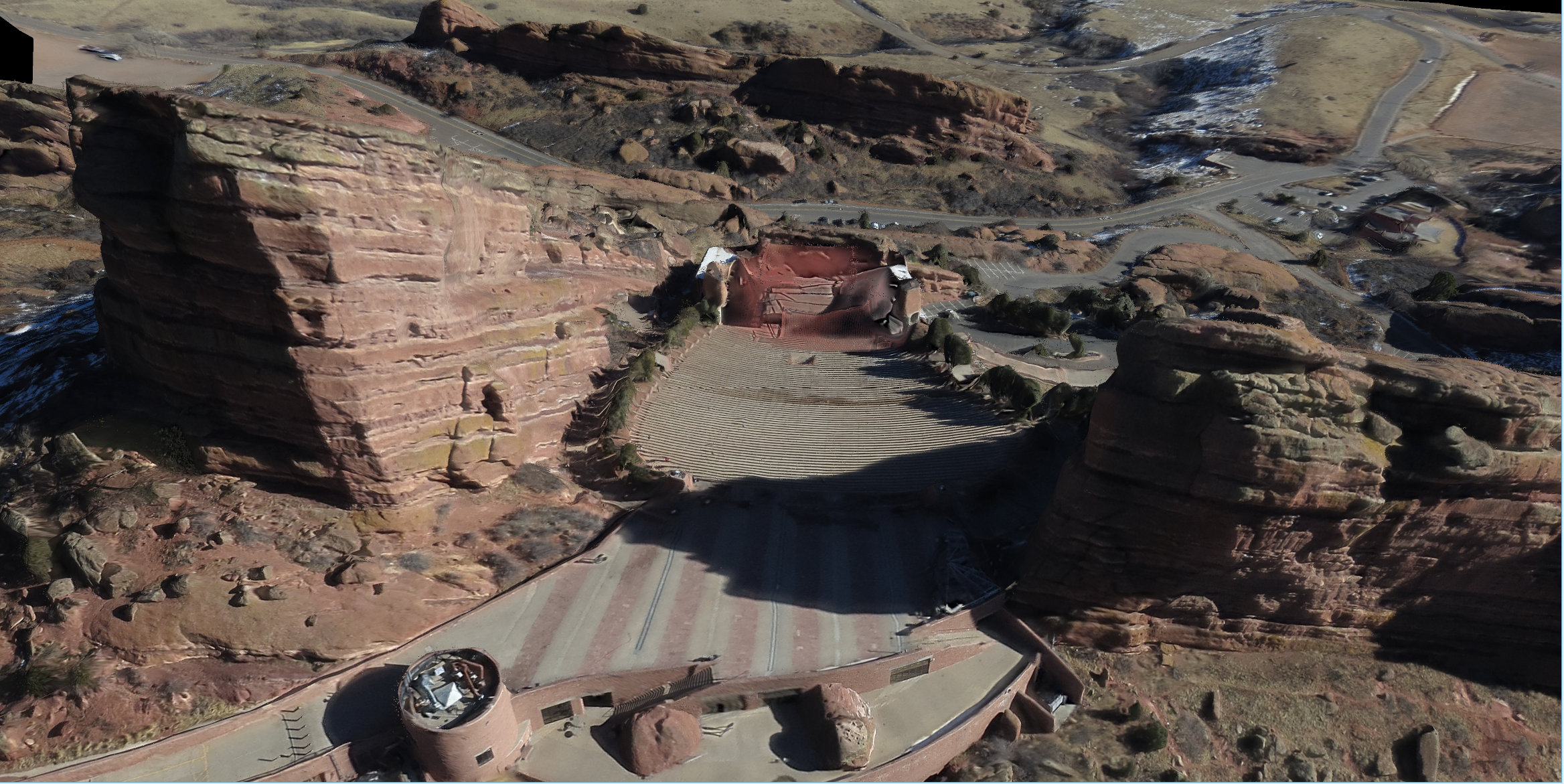
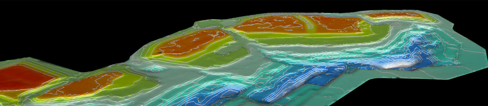
A new web-based platform allows all surfaces for a project to be accessed and dynamically visualised across the organisation. Knowing exactly what a mine looks like now and at certain points in time improves understanding, efficiency and collaboration.

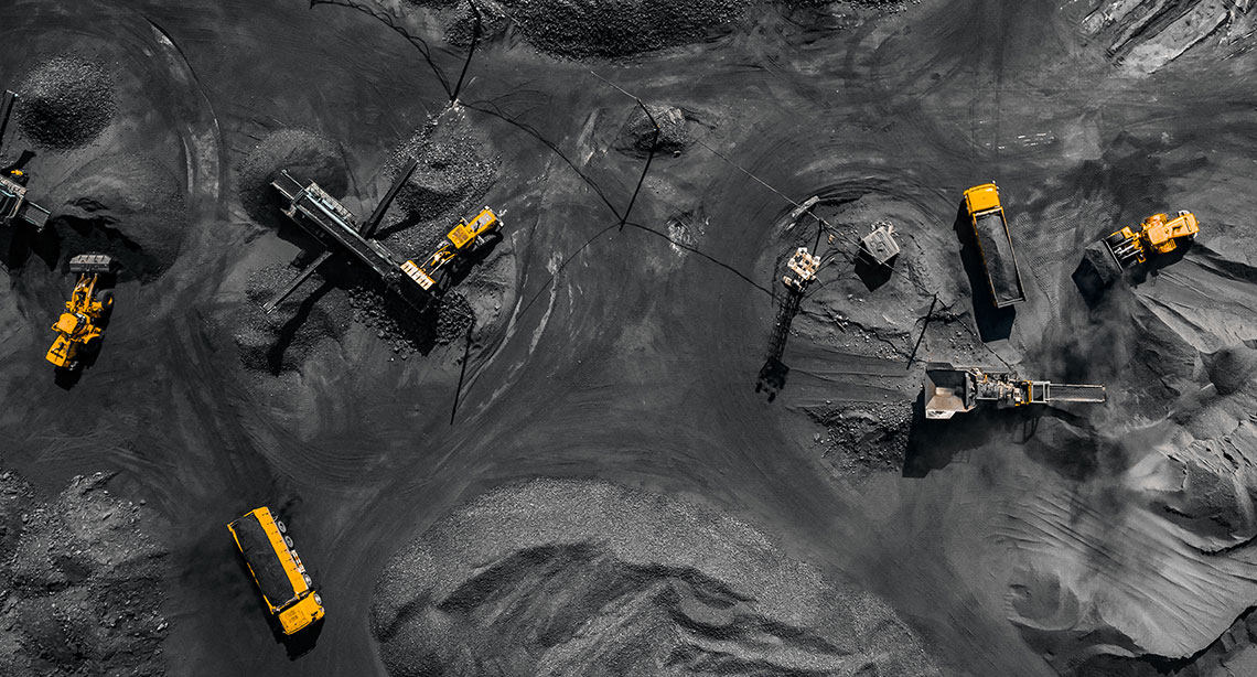
Many operations find it difficult to manage the volume of survey data, putting pressure on people, time and systems. There’s additional lost opportunity to automate other tasks if the data is not stored and made available in a systematic way.
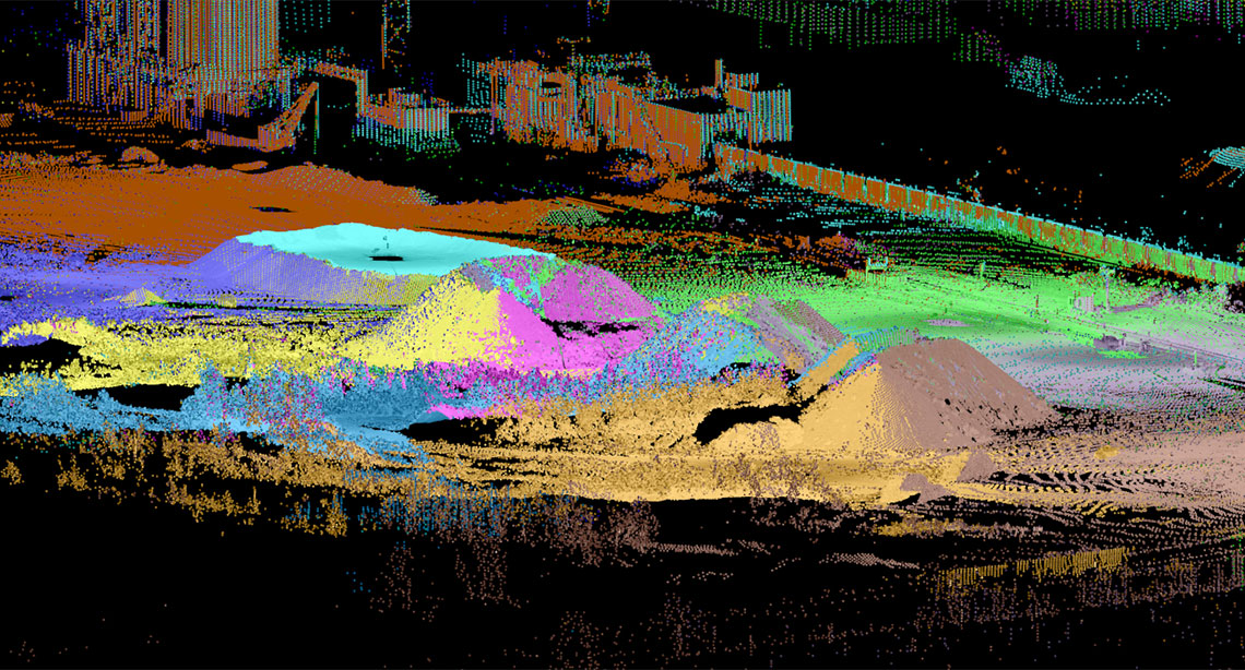
GeoSpatial Manager allows users to download either a portion, or the entire full resolution of an area, for a specified date and time and apply it to any task in their mining or civil project. Surfaces can be dynamically visualised using a time slider.

Centralised storage on a cloud or network server avoids frustration and risk arising from locating survey files stored in various places, with the single source of survey truth improving efficiency and communication across teams.
Maptek Labs
One of the Maptek guiding principles is Create Tomorrow through experimentation and innovation. Our labs pages expose new technologies in development to stimulate conversations and feedback from industry to ensure our solutions meet those needs.